Crowdsourced Street Video Map & Data
by Alleys Wonderlab,Inc.
We are crowdsourcing a street video and convert to geospatial information data
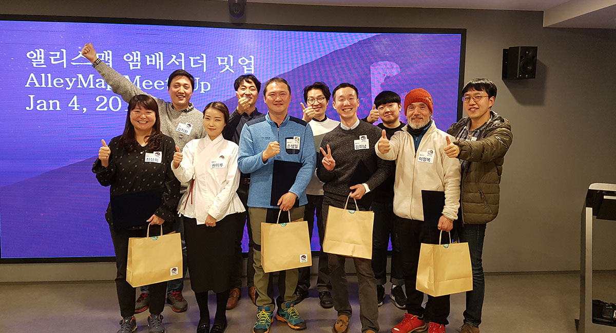
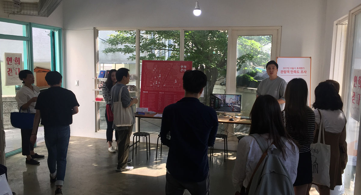
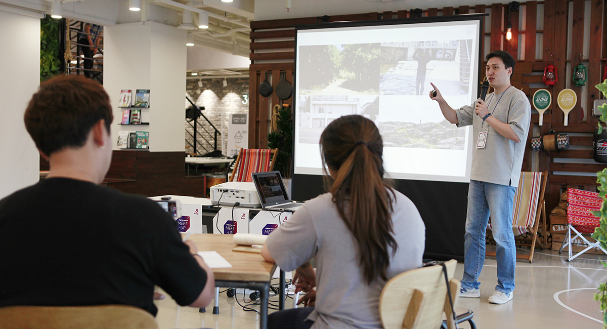
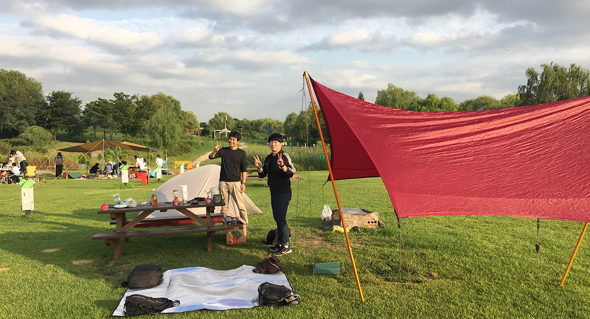
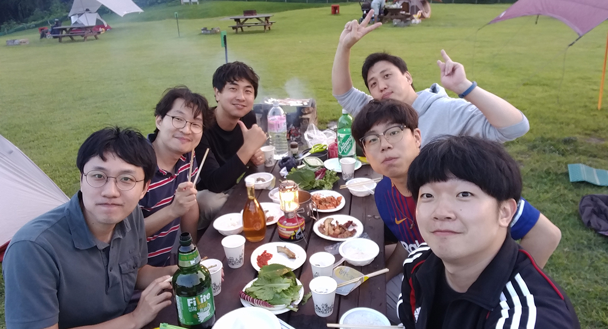
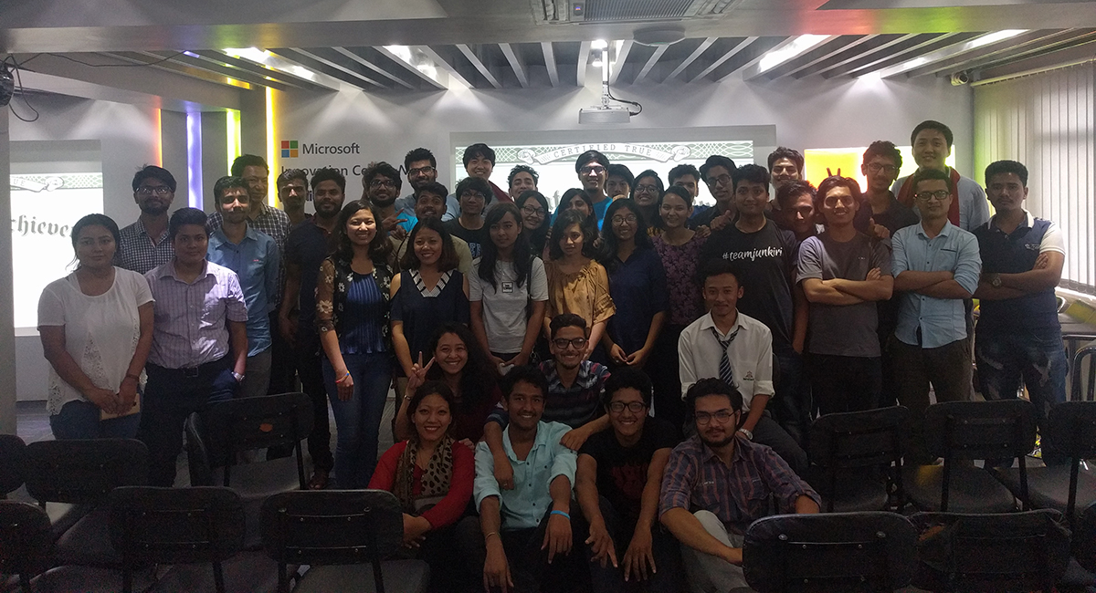
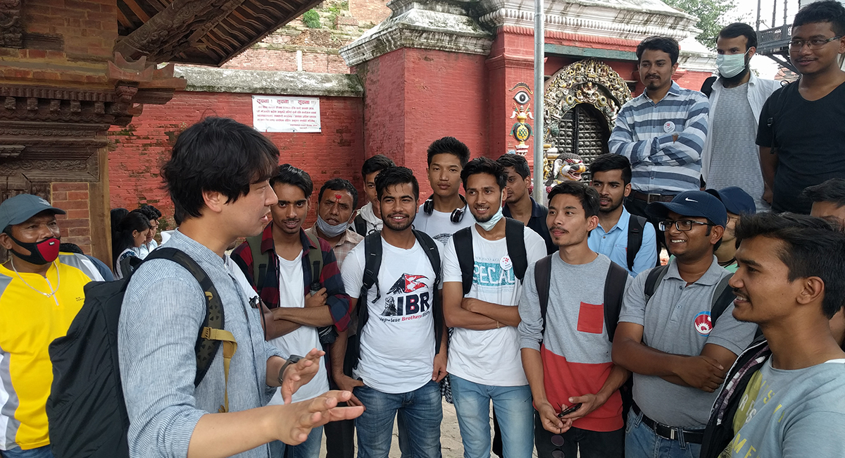
Participations
Mapping Street Videos
Total timeline
Coverage
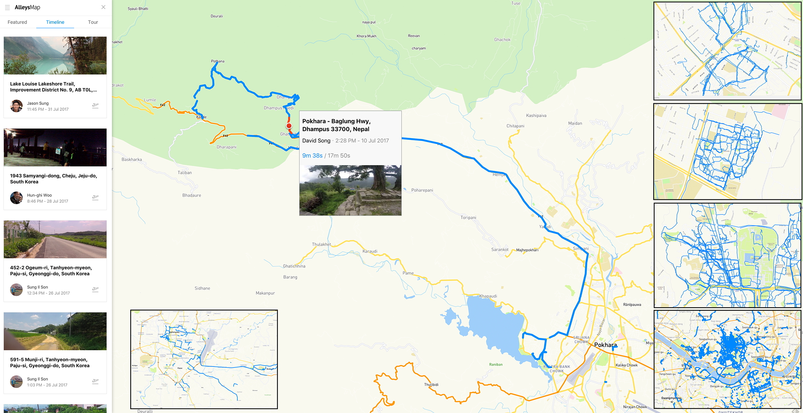
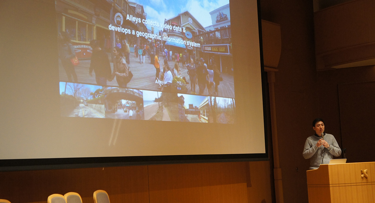
Here is an overview of how we build Alleys platform using crowdsourcing model.
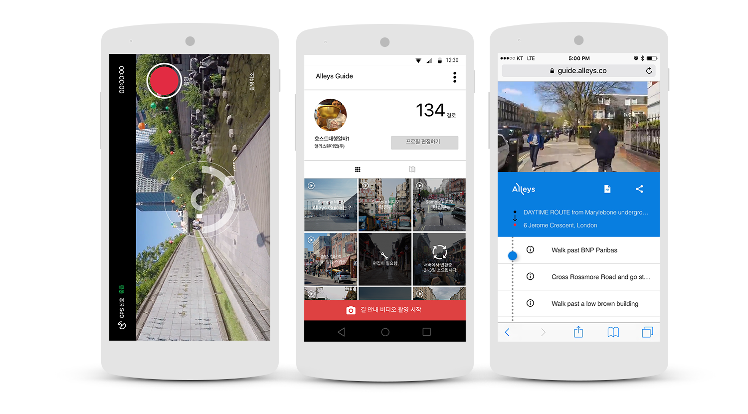
We provide Alleys Map & Guide for crowdsourcing video data
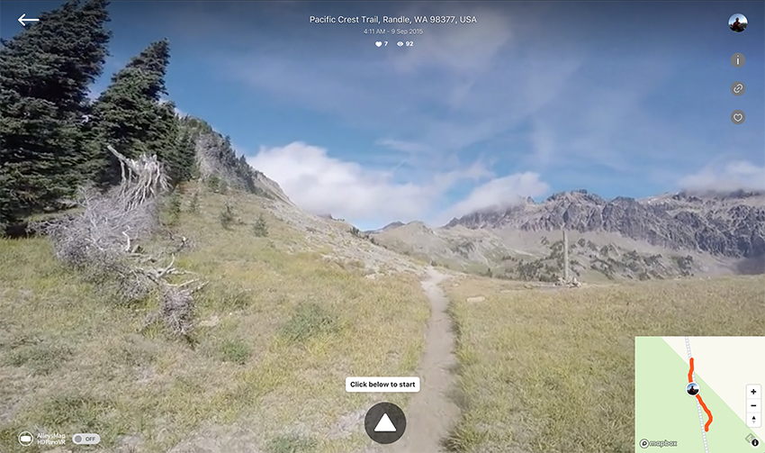
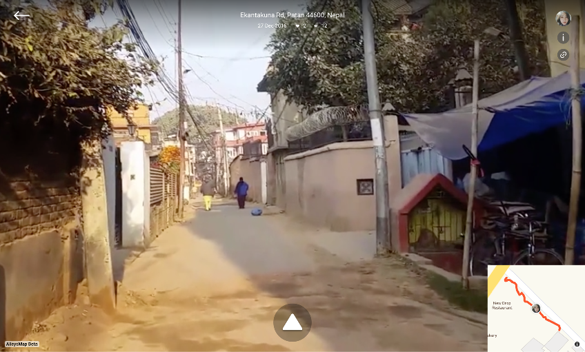
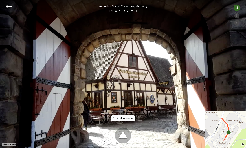
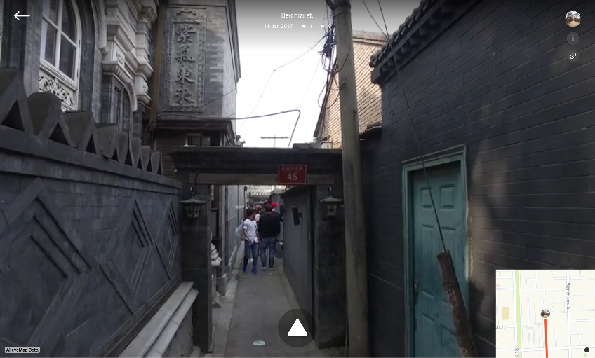
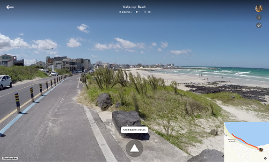
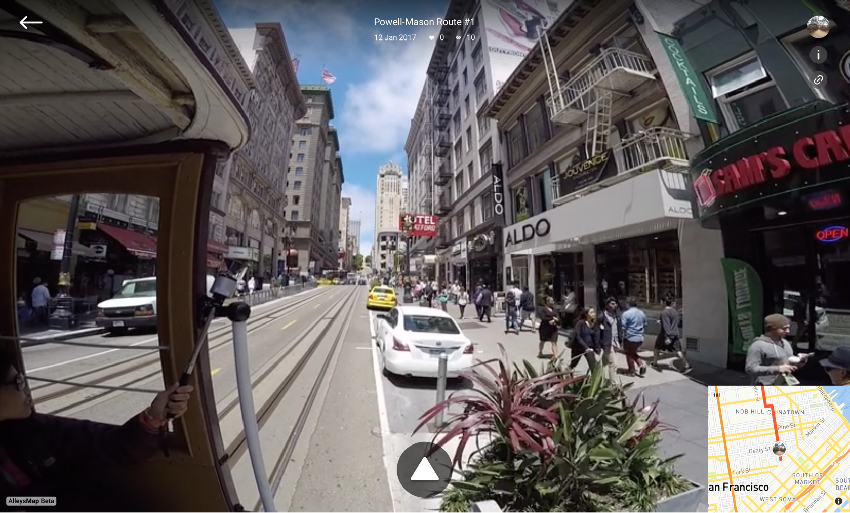
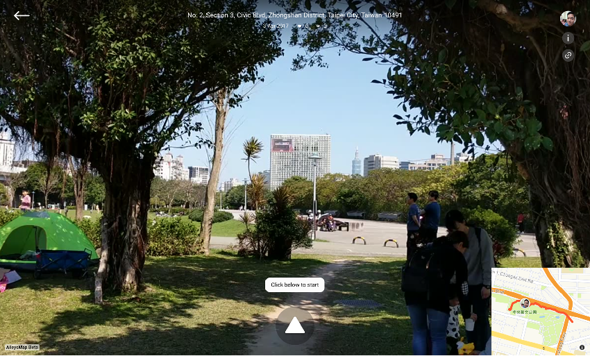
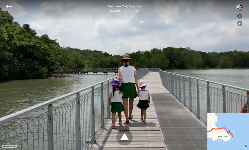
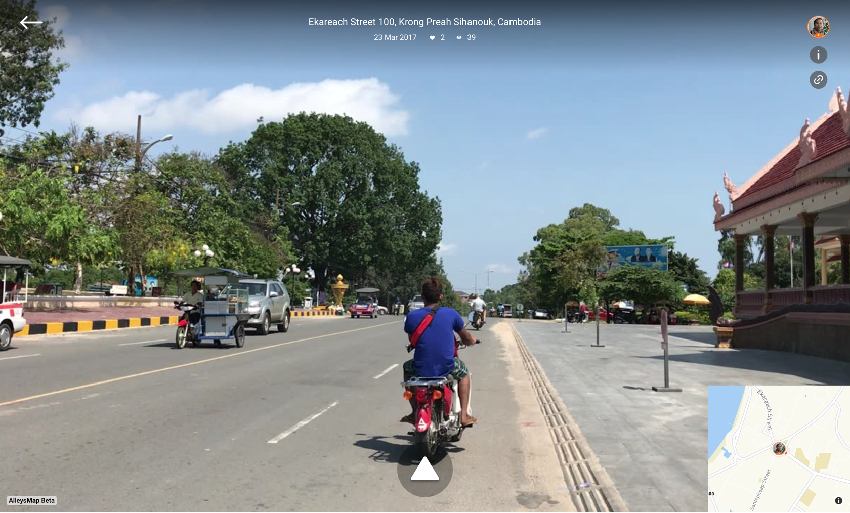
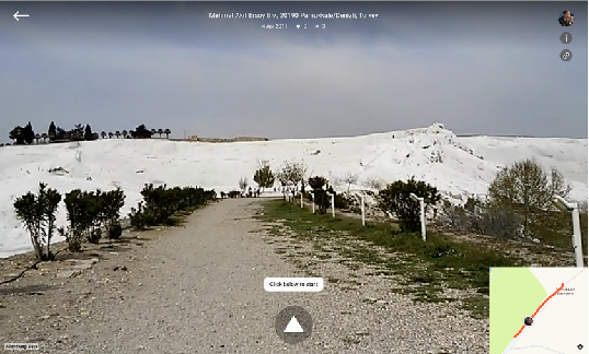
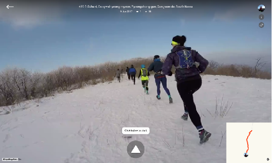
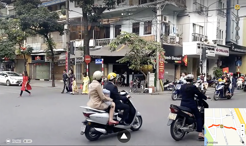
Here are some crowdsourced street videos in various area
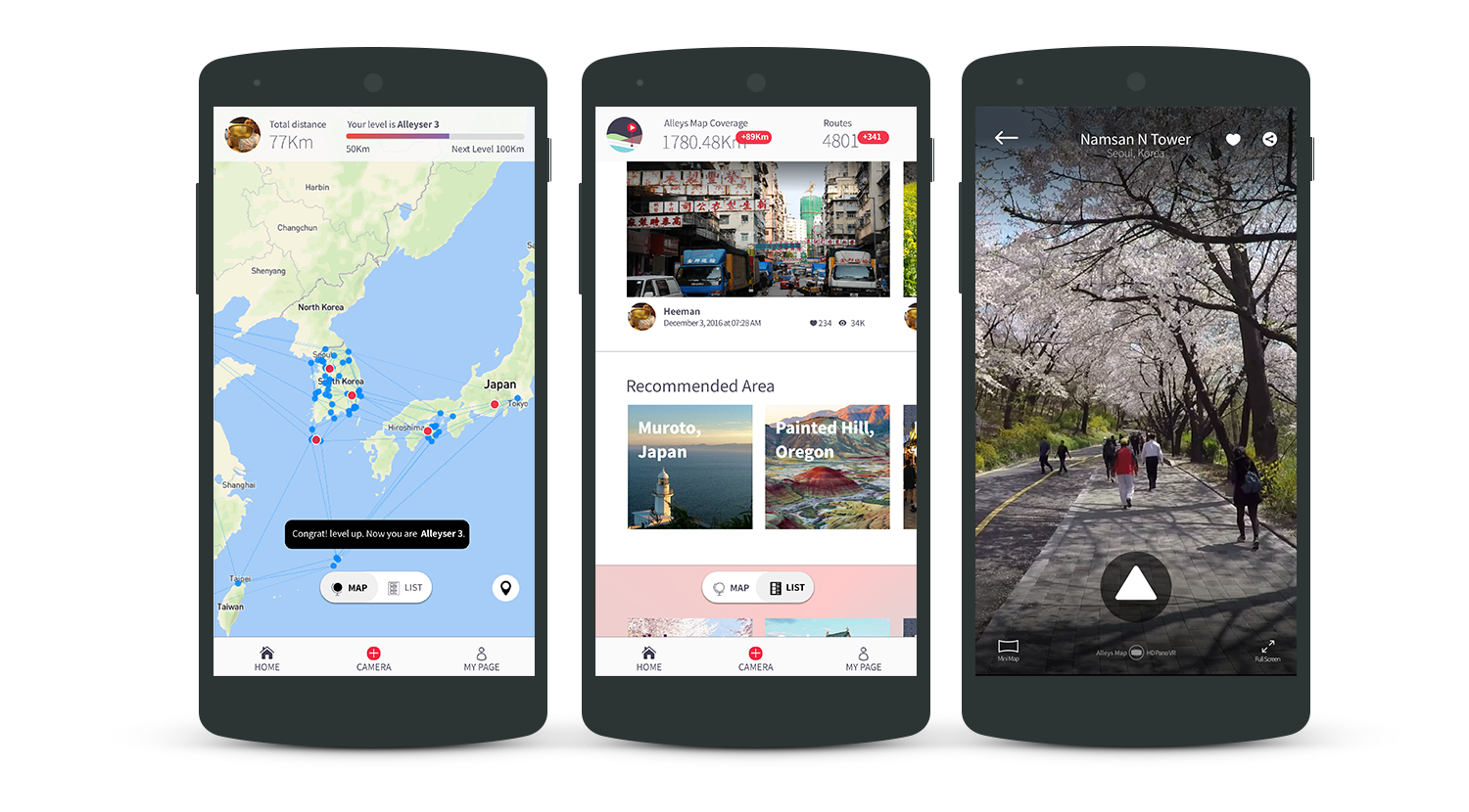
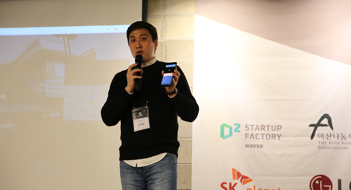
We create a virtual tours using crowdsourced video geospatial data & system

Create a story-driven virtual tour for marketing, tourism, local promotion and so on.
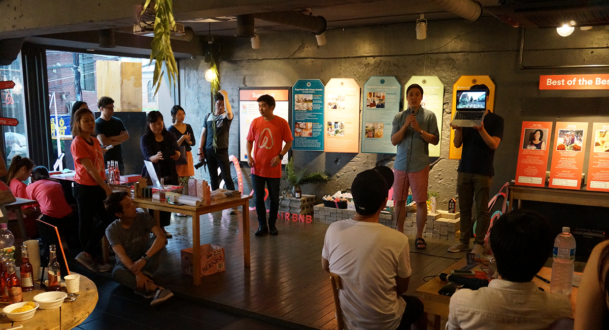
"I really like the idea. In fact, your app will totally help my works! "
My work is on transportation planning and engineering. The difficult thing about this is to have a clear database on the videos. To have the videos tracking shown on a map is what I always wanted. Videos do have more information rather than just street views photos. I believe this will be helpful also for tourism and general public uses.
"Thanks alleys. You help me a lot"
Thanks alleys. We'll stay at namdaemun guesthouse this Dec 2016. You help me a lot. It's so help backpacker like us without travel agency. We really didn’t know the places to go at that time. How to mapping these videos. Great!
"Walking travel essential app alleys"
We can draw an imaginary country on the map of reality through an alley. We also check the first travel destination and route in advance and go.
"Incredible this software. Even a child could not get lost!"
I am a very active host in London and I do get a lot of guests who are also guests too. I have just sent your link to a guest from Paris who is coming next Monday.
"Easily Going to somewhere in the world."
Alleys is a video map service that allows users to create and register video maps directly. As IT technology continues to expand into the travel market, a variety of apps help travel alone.
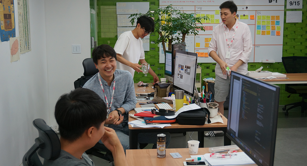
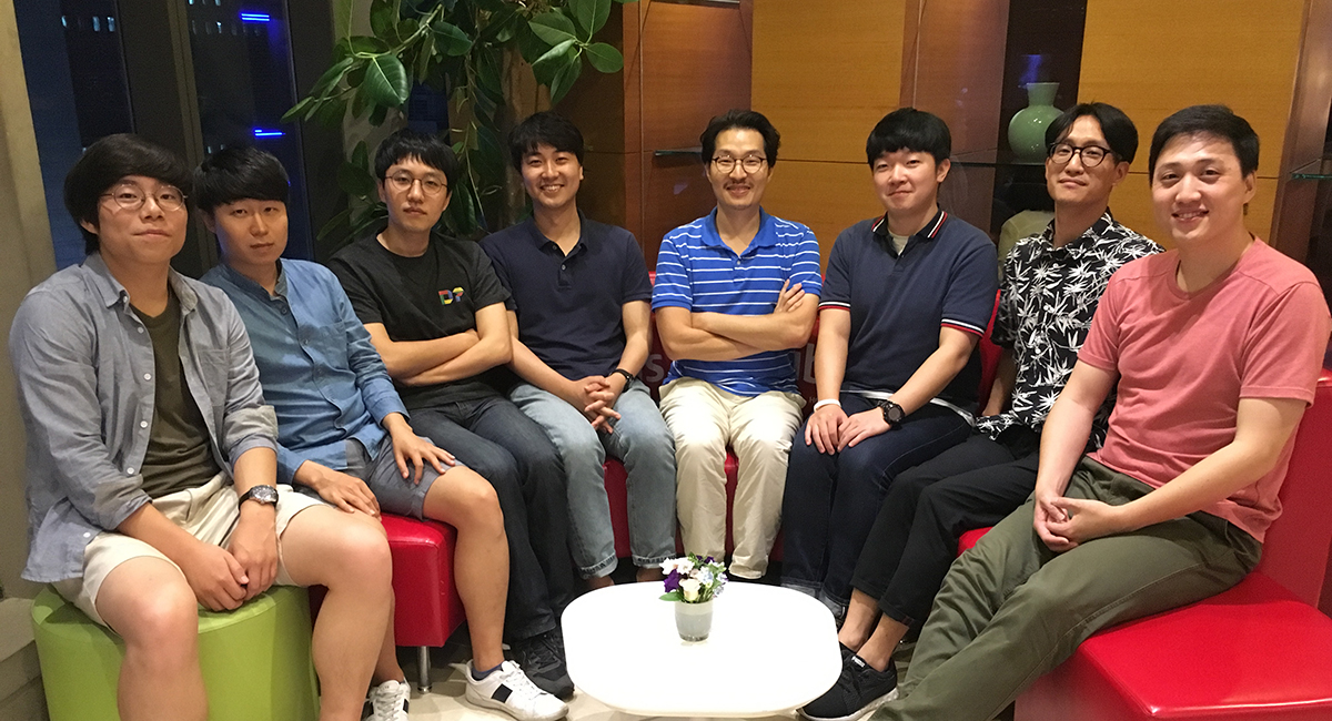
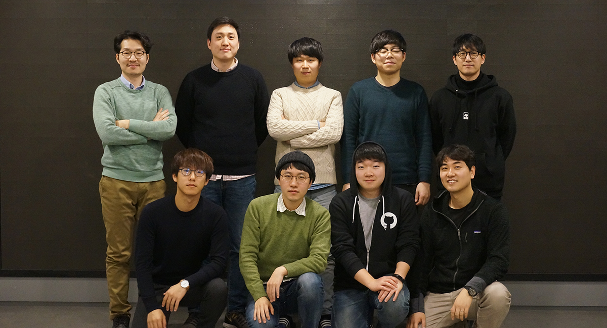
We are a group of experts who have a variety experiences in global companies.

CEO/co-Founder
CTO/co-Founder

CXO/co-Founder

Lead Developer/co-Founder

Android Developer


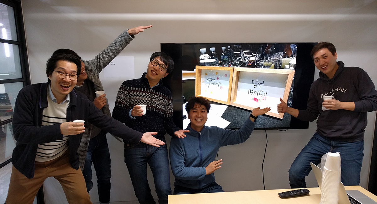
Several investors, partners support our vision